A wintery walk by the Danube today.
I woke to find snow coating all the undisturbed surfaces, highlighting the tops of tree branches, hedges and walls. Fortunately the traffic was keeping the roads clear of snow and my Arriva bus took me safely to Veliko Gradište. I saw more snow ploughs on the 2 hour trip than I saw in Britain in the whole of the winter and they were certainly successful in keeping the traffic moving.
From Veliko Gradište the route followed the bank of the Danube, mainly on quiet roads but with some stretches on the top of the river embankment or on purpose built cycle paths. I was walking along European cycle route 6, which follows the Danube and was highlighted by various signs. I noticed advice in small print along the bottom of one of these signs suggesting that you should not have high expectations of Serbia. This seemed unfair, the Danube through at least this part of Serbia is both dramatic and dotted with castles and other ancient remains. The great variety of wildfowl on the water was also attractive, with lugubrious storks sitting in near by fields. Not that the weather was doing the route justice, at Veliko Gradište I could not even see the other side of the river through the falling snow and mist when I walked down to the riverside park and promenade.
I am now safely ensconced in the rooms at Zlatna Ribica on the edge of the Danube at Golubac. The pork escalope I just about managed to eat at the associated restaurant was enormous! Tomorrow I may not be so warm well-fed and comfortable.
An easy, flat 22.4 kilometre walk today. A gpx file of my route can be found on Wikiloc.com, and WanderMap.net. The route can also be downloaded from Viewranger.com as johnpon0027.
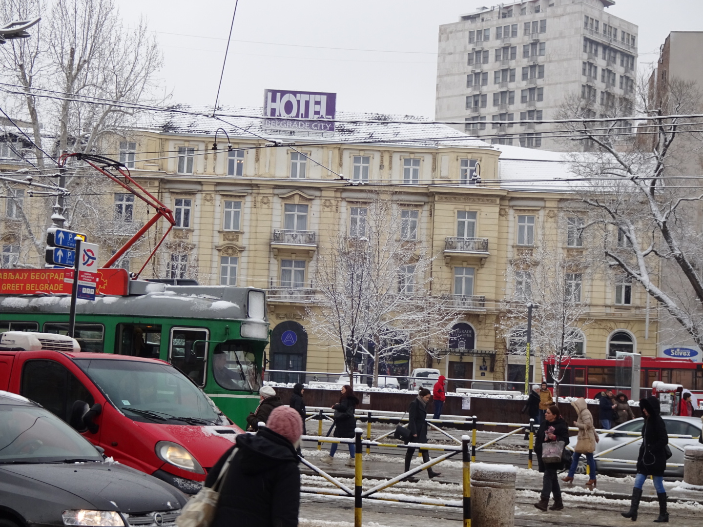 |
| My hotel in Belgrade this morning |
 |
| Cycle track into Golubac |
Dear John,
ReplyDeletethanks for writing this blog and good look hiking in Serbia. I will follow your footstep in a few years and it is extremely helpful to know that someone did it before. The Alpine branch of the E4 actually leads right through my hometome of Kufstein. From there I have walked the E4 eastwards to Hungary, and westwards all the way to Spain. Every one or two years I continue for a couple of weeks, one year in the west, then again in the East. That way, it will take me many years until I complete the entire trail, but currently I just don't have more time. (I am 32, and quite busy with many things.) The E4 is my annual escape from stress. I am also keeping a journal about my E4-adventure. The plan for this summer is to do the part between Köszeg and Budapest. Next year I will return to Spain. Eventually I will get to where you are now. But by then, you will probably have finished the E4 all the way to Cyprus.
Please keep on writing your blog. You certainly have a constant reader from Austria. Good luck!
Klaus
Dear Klaus,
ReplyDeleteThanks for your encouragement. Kufstein looks an attractive place. I missed it as I took the northern route of the E4 along the Maximilliansweg. One reason was that the Alpine route was described as difficult, and only for experienced Alpinists. Is this the case, are there scary trails and scrambling up rocks?
Enjoy Hungary, the first section from Köszeg to Sümeg, does have some monotonous sections, but the pleasant towns with their castles add interest.
срећан пут (as they say in Serbia)
John
Dear John,
ReplyDeleteas long as you choose the right season, the alpine route of the E4 is easily doable without any need of climbing gear. In general, it is comparable to the Maximiliansweg in Bawaria, the same amount of ups and downs - you just have to add 1000 m to the average altitude. The route is described in great detail in the booklet you can find here (https://www.alpenverein.at/weitwanderer/weitwanderwege/2002_01_26_129.php). It also describes some alternatives to bypass the most demanding sections. There are two glaciers on the route (Hochkoenig and Dachstein, both at around 3000 m). I bypassed them both as you would probably need crampons for this section. Apart from that all alpine passages are easy. Safety cables are fixed to the rocks on the more demanding stretches. The hardest, but also the most beautiful section, is the Lechtaler Höhenweg - where you are above 2000 m for up to 5 consecutive days. Fantastic, but I don't recommend to walk it before mid-July when the snow is finally gone. The whole section between Bregenz and Marzer Kogel - where the two E4s reunite - took me 44 days. I would definetly recommend it.
A big plus is accomodation. There are lots of mountain huts (all listed in the booklet). With a bit of planning ahead you won't need a tent at all.
So just in case that - after finishing off the whole E4 in Cyprus (you are probably the first to do so) - you might want to hike the alpine route and you happen to pass through Kufstein, give me call (+4369910811013) or write an email (klaus.reitberger@gmail.com). We should definetly go for a beer and share some E4 experiences.
Klaus