A long walk ending at the curious village of Rtanj.
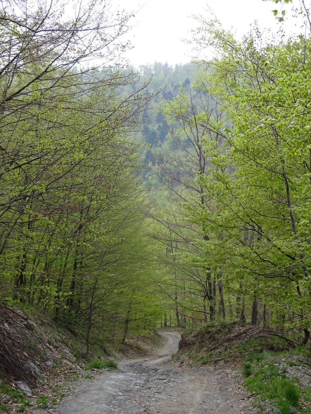
I noticed a lack of birdsong this morning and my clothes were damp. On peering out of my tent I saw the summit of Malinik hidden in cloud and the day grey and overcast. Packing up as quickly as I could, but still taking the usual one hour, I started down to the village of Podgorac. After an initial section where I had to be careful to pick the right track, the remainder of the route was straightforward. All the way down the valley to the village I was surrounded by trees, their bright green leaves just starting to unfurl. Fortunately I could just splash across the two fords on the way.
At Podgorac I bought some food, the shopkeeper waited impatiently while I searched for something suitable. After drinking a coke on the bench outside the shop with some men with empty beer bottles, I set off avoiding the main road by making my way through a complex network of farm tracks, woodland paths and gravel roads to Boljevac. The route went via the village of Mali Izvor (little spring) where I washed the sweat off my face at the perfectly adequate piped spring.
On reaching Boljevac at lunchtime I was pleased to find a bakery open (despite being Sunday) where I had a slice of Pizza and a drinking yoghurt at the tables and chairs provided, followed by a coffee at the bar opposite.
Then it was just over 10 kilometres along the road to Rtanj. I diverted off the road for a while onto a parallel track, getting a bit mixed up among some charcoal burners (the path goes to the left of them), a lot of these burners were active today with smoke coming from their bases. Some of the track was overgrown but it did not obstruct me too much. The track ended at the village of Ilino where I rejoined the road. There was probably a way across the mountain between me and the village of Rtanj, but I could not find one in my researches and after walking 35 kilometres I decided to stick with the road which curled around the high ground but was still a bit of a climb. (Update: A gpx trail which includes the route over the mountain has now been published by the Mountaineering Association of Serbia)
Rtanj village was a surprise, I was expecting a typical Serbian mountain hamlet, but instead it was a ghost town left by an old mining operation with many abandoned buildings. The ruins were not picturesque. There were some occupied houses, a few quite smart, several advertising Rtanj tea, made from a herb that only grows on the mountain of Rtanj next to the village and on one or two nearby mountains.
The B&B Radgost was not where it was shown on Booking.com and its only sign said Apartments (in Cyrillic script). I only went in because on asking a local (by showing him the name on my phone) he made swimming actions, referring to the pool beside the B&B. There was a party drinking inside, who had just walked down from the summit of Rtanj mountain. I eventually determined it was the right place thanks to a friendly man who spoke English who told me a great deal about Rtanj. If I understood correctly he had an organisation called "the spirit of Rtanj pyramid". It seems the pyramid shape of the mountain has great significance, strange balls of light have been seen and there was something about frequencies, other emissions, and intersecting energy lines.
Certainly it will be my highest Serbian mountain so far at 1570 metres and the sides are very steep so I think an early night to prepare myself for whatever it has to offer.
40.3 kilometres walked today. A gpx file of my route can be found on wikiloc.com or can be downloaded from ViewRanger short code johnpon0030.
 |
| Track down to Podgorac |
 |
| Typical farm buildings |
 |
| Overgrown path near Ilino |
No comments:
Post a Comment